

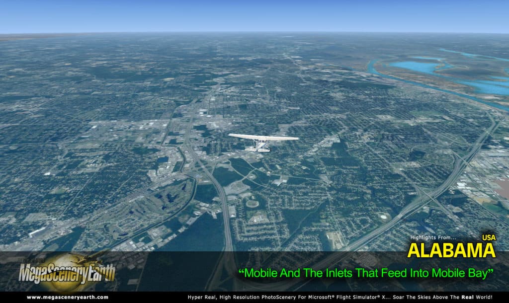
 Alabama in the US South is the latest addition to the photoreal converage of MegaScenery Earth, with the usual stats provided of 52,419 square miles of coverage and 203 airports to choose from.
As usual, the state is covered in 50cm/pixel aerial photos from the Gulf of Mexico up to the borders with Georgia, Tennessee, Florida and Missouri. With an average elevation of 500′ AMSL and a tallest peak of only 2,382′ (Cheaha Mountain), you won’t be suffering from altitude sickness to dodge the terrain down here, but if you’re into visual navigation then this scenery may still be of interest. See here for full information.
![Aerosoft – Frankfurt EDDF MSFS Preview [Video]](https://www.simflight.com/wp-content/uploads/2024/04/Aerosoft-Frankfurt-EDDF-MSFS-Preview-thumb.jpg)


0 Responses
Still no good airport scenery for Birmingham, Mobile, Montgomery , Tuscaloosa ….