

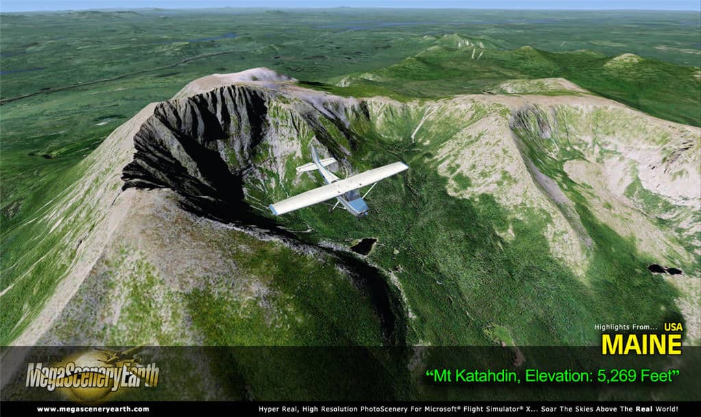
 The file size is as heavy as the photoreal scenery is large. MegaScenery Earth covers many US states with custom mesh and high definition textures taken from aerial views.
Whether you jump in an airliner or a light aircraft for your first flight over Maine, don’t forget in your flightbag the airport diagrams, IAP charts or the sectional map to guide your VFR flight. All of them are included as PDF files for Acrobat.


