The new Regional scenery Basse Normandie VFR for P3D 64 bits is now available thanks to FranceVFR.
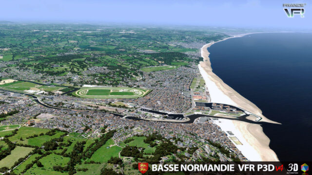
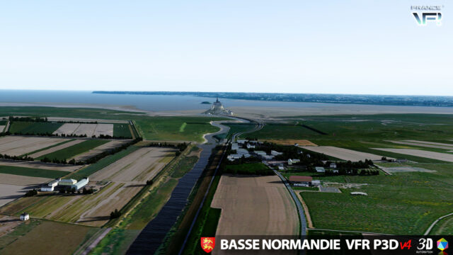
Using HD photoreal terrain and numerous Autogen objects and custom landmarks, this scenery depicts the Northern West part of France including many airports and very famous places like the “Mont-St-Michel”!
TECHNICAL SPECIFICATIONS:
– Ground textures from 0.8 to 1.20 meter / pixel resolution from IGN aerial photography reworked for an optimal visual rendition in Prepar3D® (summer only).
– Dedicated mesh with high definition 4.75 meters (LOD13).
– Lakes and rivers with navigable waters fitting the texture.
– Transparency management of the seabed on the entire scene.
– Semi-detailed generic airports including flatten platform correction.
– Obstacles and VFR landmarks modeled on the entire scene including the official SIA database (antennas, towers, water towers, wind turbines, various constructions …).
– Hundreds of thousands of objects and notable buildings integrated into the environment (churches, power plants, silos, castles, industrial tanks, bridges, tolls, cranes, boats, streetlights, road signs …).
– Integration of 3D Automation® technology allowing multi-million buildings and realistic vegetation areas fitting geographic specs.
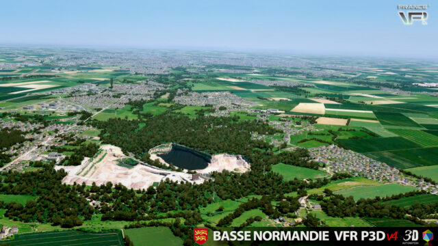
– Extremely dense and optimized vegetation coverage using a custom rendering module controlled by artificial intelligence (AI).
– Autogen buildings including additional specific and optimized 3D variations.
– Geo-referenced data for maximum compatibility with future add-ons installed on the same area.
– Development process 100% Lockheed Martin® SDK specifications compliant, ensuring maximum compatibility with new releases.