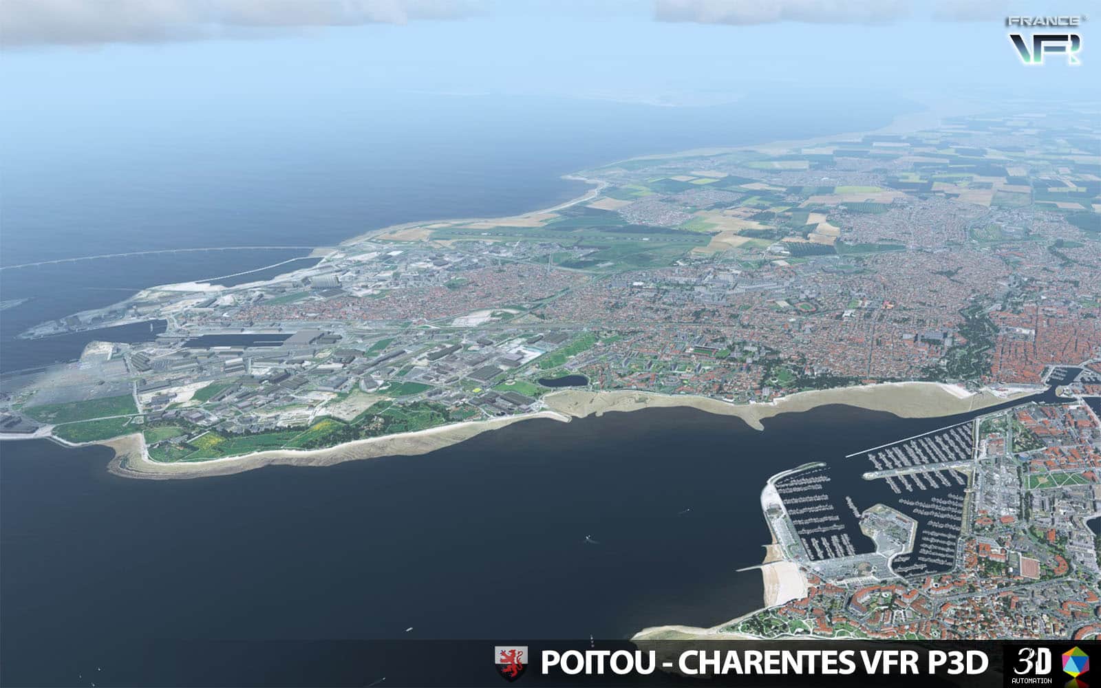
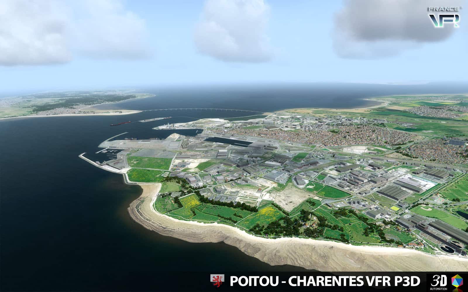
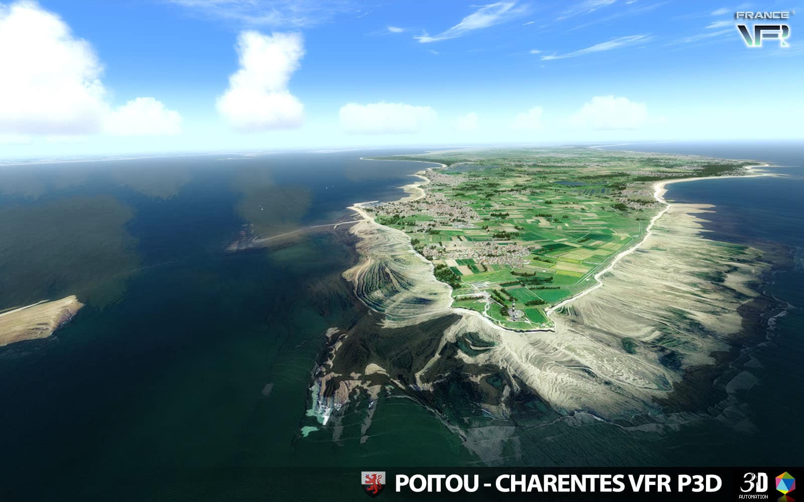
 To perform your own Tour de France in flight, VFR regions with 3D Automation are perfect sceneries designed by France VFR because of their extreme use of HD photoreal terrain, custom elevation… and the super dense / local style Autogen. New area covered : Poitou-Charentes on the West coast with Atlantic Ocean, available for P3D v5/v4 or FSX at simMarket.
“Our new Regional scenery Poitou-Charentes VFR 3DA for P3D (v5/v4) and FSX is now available ! This scenery represents the Western center area including many airports and known cities…
TECHNICAL SPECIFICATIONS:
– Ground textures from 0.8 to 1.20 meter / pixel resolution from IGN aerial photography reworked for an optimal visual rendition
– Dedicated mesh with high definition 4.75 meters (LOD13).
– Lakes and rivers with navigable waters fitting the texture.
– Semi-detailed generic airports including flatten platform correction.
– Obstacles and VFR landmarks modeled on the entire scene including the official SIA database (antennas, towers, water towers, wind turbines, various constructions …).
– Hundreds of thousands of objects and notable buildings integrated into the environment (churches, power plants, silos, castles, industrial tanks, bridges, tolls, cranes, boats, streetlights, road signs …).
– Integration of 3D Automation® technology allowing multi-million buildings and realistic vegetation areas fitting geographic specs.
– Extremely dense and optimized vegetation coverage using a custom rendering module controlled by artificial intelligence (AI).
– Autogen buildings including additional specific and optimized 3D variations.
– Geo-referenced data for maximum compatibility with future add-ons installed on the same area.
– Development process 100% Lockheed Martin® and Micosoft Fight Simulator X® SDK specifications compliant, ensuring maximum compatibility with new releases.”