

Navigraph Charts has just been updated to enhance your navigation experience! You can now display land cover details, including forests and glaciers. ![]()
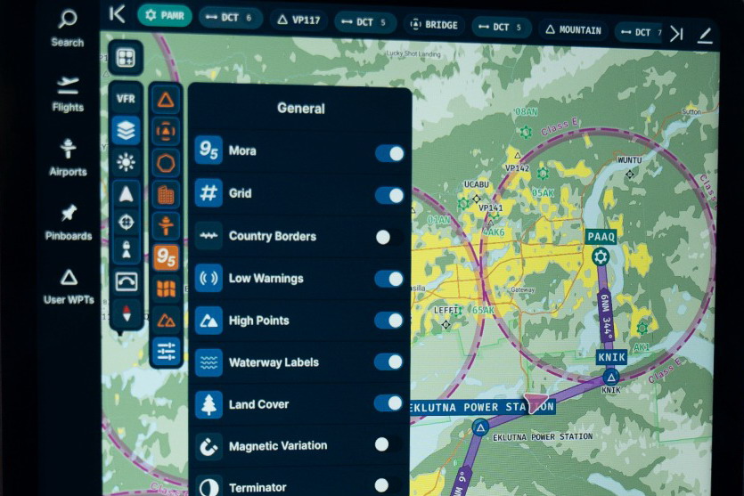
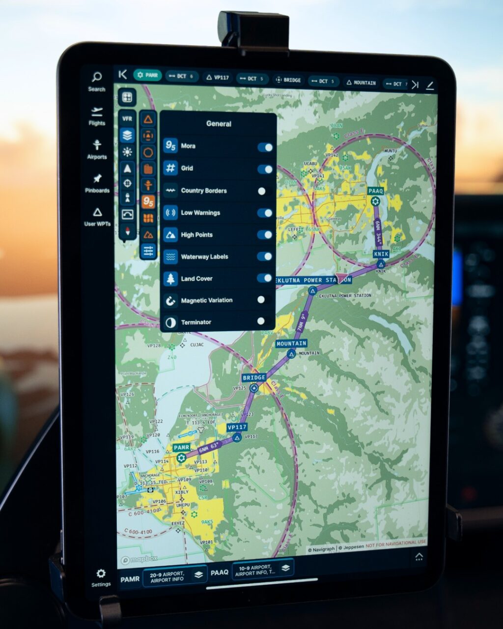
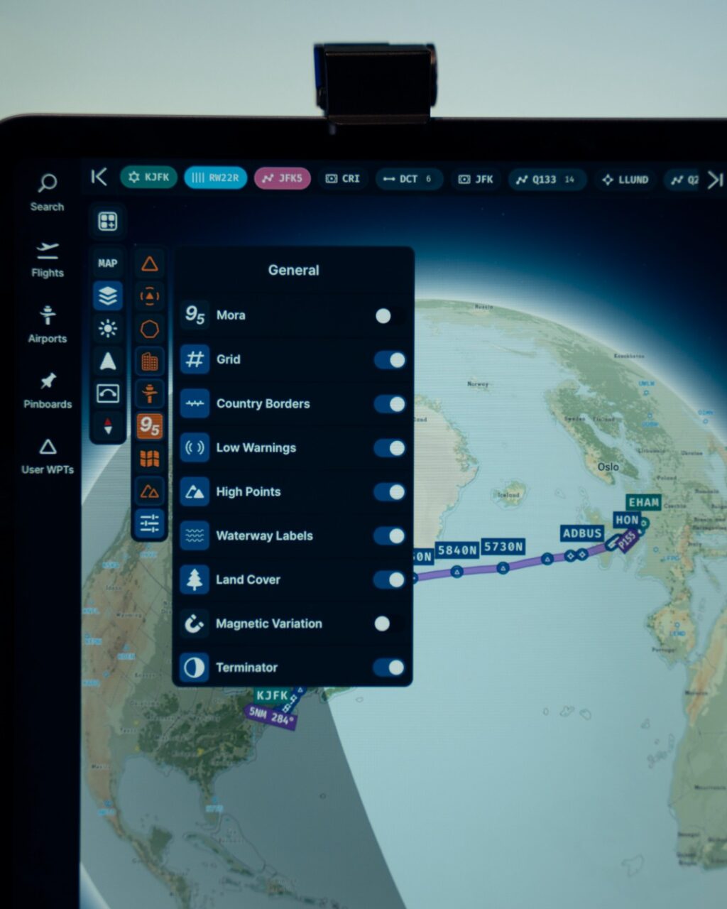
![]() The land cover layer is enabled by default in the VFR map. To toggle the visibility of this layer, simply navigate to the map layer selector, switch to layer editing mode, and select the general tab. From this tab, you can also activate our new terminator layer, illustrating day- and nighttime on our Mercator map and globe view.
The land cover layer is enabled by default in the VFR map. To toggle the visibility of this layer, simply navigate to the map layer selector, switch to layer editing mode, and select the general tab. From this tab, you can also activate our new terminator layer, illustrating day- and nighttime on our Mercator map and globe view. ![]()
![]()
The ability to display land cover details is made possible through the incorporation of data provided by Impact Observatory, Microsoft, and Esri. The dataset displays a global map of land use and land cover (LULC) for the year of 2023, obtained from ESA Sentinel-2 imagery at 10-meter resolution. Every map is a compilation of LULC predictions for nine classes across the entire year, capturing a comprehensive snapshot annually.
FYI: As mentioned on the Facebook page of Navigraph.


